Modelling the Sediment Dynamics of a Developing Coastal Estuary: The Case of Batan Bay, Aklan
Abstract
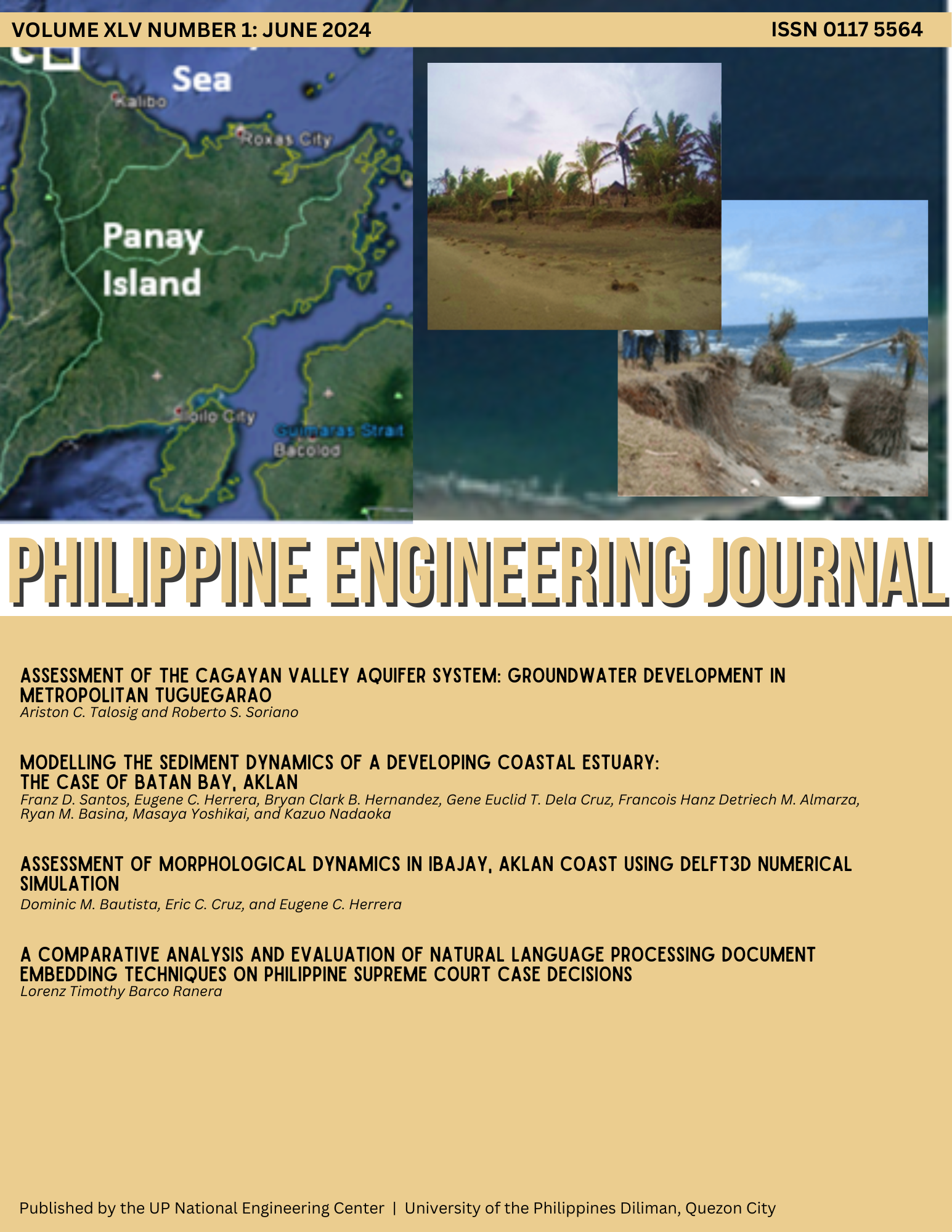
In most coastal communities, aquaculture has been the way to address the continuous urbanization and growth in population in these areas. Aquaculture has proven to be economically important, but mismanagement of the coastal resource has often led to decline in productivity. Batan Bay Estuary in Aklan has been experiencing lower productivity and shallower bay waters over years of urbanization and thriving aquaculture activities. Given the limitation of actual data gathering techniques to represent physical processes of water bodies such as estuaries, numerical modelling has been used as a tool to describe estuarine processes as well as aid in the management and preservation of its different ecosystem services. This study aimed to describe and understand the sediment dynamics of Batan Bay Estuary using numerical modelling. Sediment yields were simulated using the Soil and Water Assessment Tool+ (SWAT+) to describe the long-term hydrology while Delft3D was utilized in understanding the hydrodynamics and sediment dynamics of the bay. Based on the morphologic simulation results, erosion areas were identified at the narrow channels between fishpond dikes while sediment deposition areas were identified at fishpond dike entrances and near the bay mouth. A scenario for bay management such as removing abandoned fishpond dikes in the bay and its effects on the sediment dynamics was also examined. Simulation showed that areas near the removed dikes resulted in an increase in velocity by as much as 0.5 m/s thus resulting in more erosion near these areas. The results generated from the models can aid the community in understanding the effects of future aquaculture developments on the sedimentation dynamics of the bay. This study has shown the value of utilizing advanced numerical modelling techniques and data analysis in understanding sediment dynamics of coastal resource and effectively come-up with scientific-based information to support bay-wide conservation and resource-use efforts.