Assessment of Morphological Dynamics in Ibajay, Aklan Coast using Delft3D Numerical Simulation
Abstract
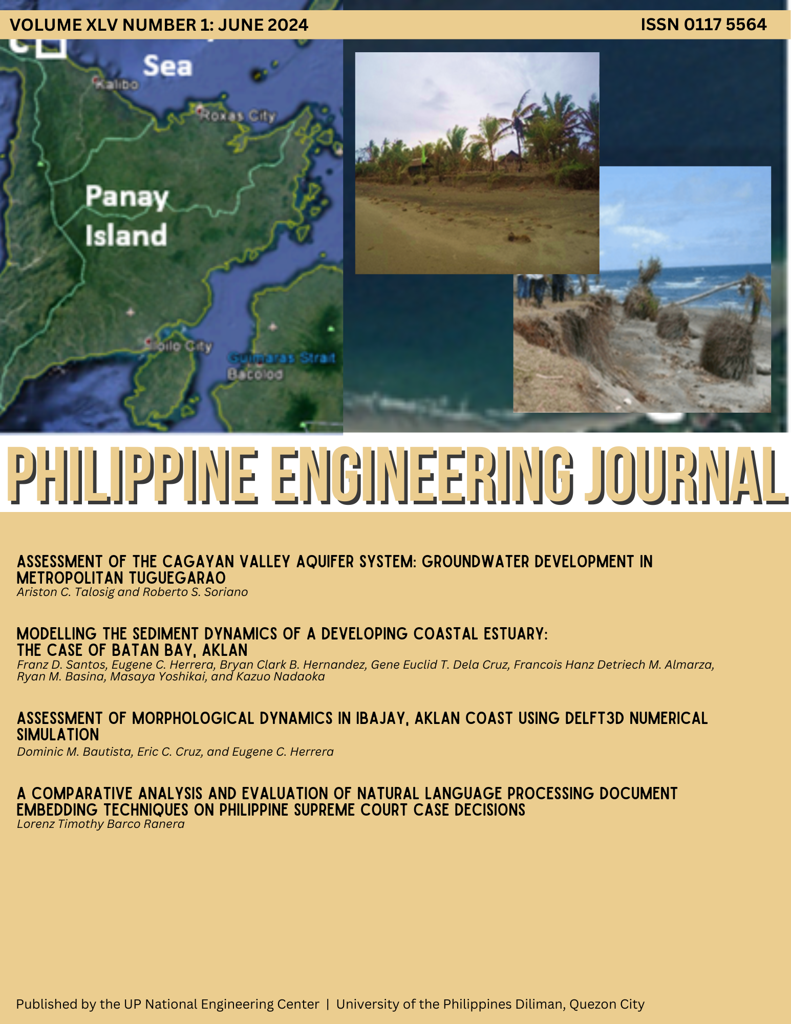
The Philippines has dynamically active coastal areas where sediment transport is a matter of concern due to its environmental implications, one of which is coastal erosion. Local studies have used seasonal beach profiling, shoreline tracing, and bathymetric analysis to provide relevant information on possible causes, trends, and adaptation strategies to address coastal erosion, but studies using numerical modelling of morphological dynamics are limited despite its capability to quantify different processes that is essential when an engineering intervention is necessary. This study uses numerical modelling in assessing coastal erosion and aims to model the hydrodynamics, waves, sediment transport and morphological dynamics of the study area using Delft3D. A 3-dimensional, coupled FLOW and WAVE model was set-up and calibrated to assess the transport of sediments and morphological dynamics in Ibajay, Aklan, one of the areas tagged as experiencing coastal erosion due to the presence of identifying physical features. The model was calibrated by comparing simulation results with measured time-series water level, bottom velocity, and wave parameters obtained from field surveys. Good agreement with measured parameters was observed after calibration, with root-mean-square-error of less than 10% of range of observed values at an observation point located 100 m off the coast at a depth of 8 m. The calibrated model was run for one year under prevailing (non-extreme) wind and wave conditions. Results showed two transport patterns caused by breaking of waves and strong currents near the lateral boundaries. It was determined that the shore is accreting with some erosion observed on the lateral boundaries caused by tidal asymmetry. Dry season months from November to April exhibited more active cross-shore transport due to intensifying of waves brought by the northeast monsoon while recovery of sand was observed during calmer conditions the rest of the year.