Evaluation of Object-Based Classification Methods For Mapping Benthic Habitats Using Bathymetric LiDAR Derivatives
Abstract
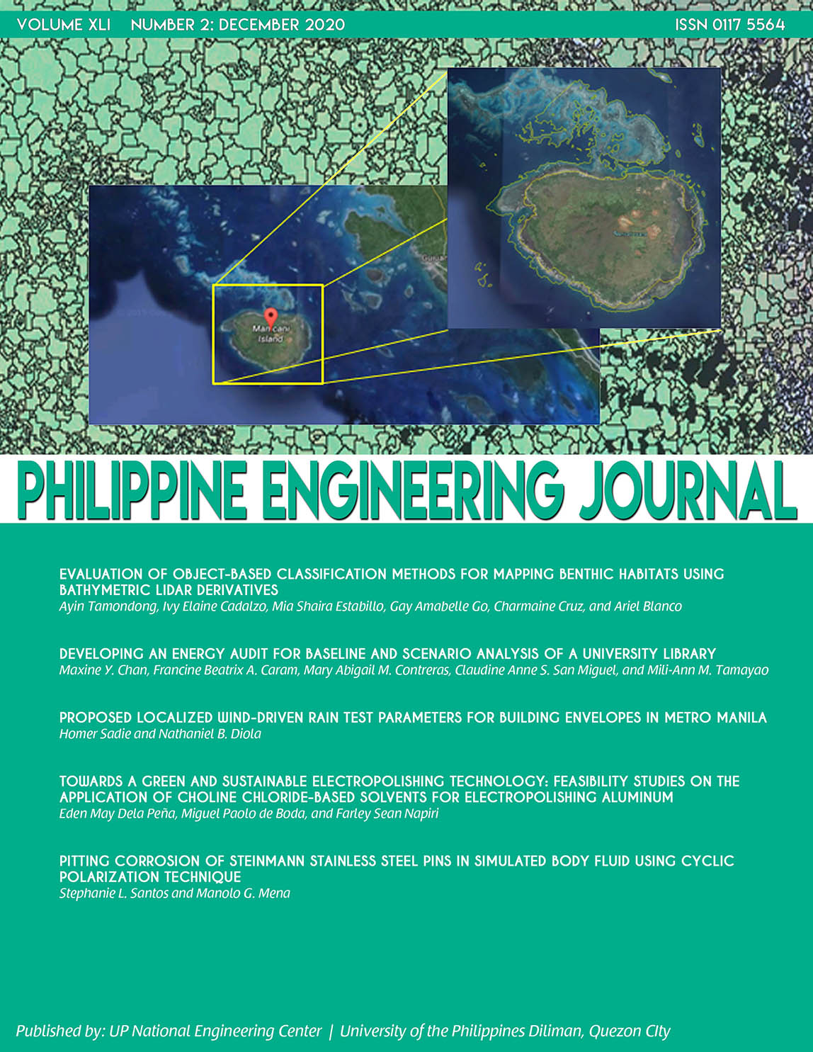
Abstract — Benthic habitats are one of the most productive ecosystems in existence. Unfortunately, they are declining in coverage globally due to natural and anthropogenic factors. Mapping and monitoring the status of these coastal ecosystems is critical for their protection. One of the tools capable of mapping such habitats is LiDAR remote sensing. This research aims to evaluate different object-based classification methods for classifying benthic habitats in Manicani Island, Guiuan, Eastern Samar using LiDAR derivatives. The bathymetric LiDAR data used in this research was obtained using an Optech Aquarius ALTM sensor. Before classification, LiDAR derivatives such as digital surface model (DSM), depth, plan curvature, profile curvature, rugosity, slope, slope of slope, broad-scale and fine-scale Bathymetric Position Index (BPI), and fractal dimension were extracted from the raw data. Principal components analysis was applied to eliminate redundant information. To classify the benthic habitats, an object-based image analysis (OBIA) approach was performed using eCognition. Training and validation data sets utilized in classification and accuracy assessment were gathered in the field using a handheld GPS receiver and video tows geotagged using a dual-frequency GPS receiver. The overall accuracies achieved in mapping benthic habitat from LiDAR derivatives were as follows: Hierarchical – 77.4%, Nearest Neighbor – 88.3%, Feature Space Optimization (FSO) – 82.4%, and SEparability and Thresholds (SEaTH) – 81.9%.
Keywords — benthic habitat mapping, bathymetric LiDAR, OBIA, hierarchical classification, nearest neighbor, FSO, SEaTH